Fieldnotes from the River Amathos: Between the dam and the sea (2014) – Photography and notes
10:55 / 34º 44' 38.14" N, 33º 4' 59.87" E
10:24
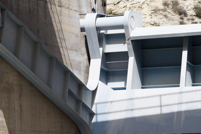
Driven to car park over bridge by dam. Dropped here. Sat on wall. To N is the reservoir. To the S, views over valley and the sea in the distance. “Phinikaria Community Boundary.” Men cutting wood with chainsaws. No one on or around reservoir otherwise.
11:47
Pump – sound of running water. Abandoned concrete building. Dogs barking. Sky hazing over slightly – a couple of very high clouds forming. Fly tipping of garden waste (mainly palm-tree leaves) next to river. Swallow.
12:05
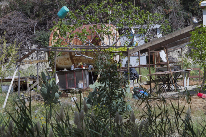
Litter on track. Small amounts of stagnant water in river. Furthest I can get along river. Track veers off into palm-tree plantation – mature palms in plastic pots. Makeshift farm buildings block path by river.
12:50
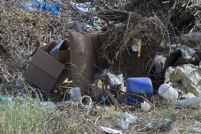
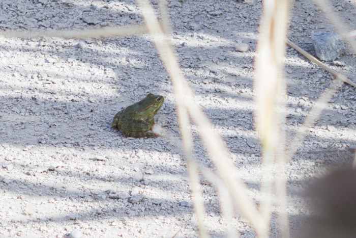
Much less dense growth in river and still a small amount of water. More rubbish on path than before: polystyrene, pruned branches of trees and cacti with signs of recent fire. Croaking: this time definitely coming from river. Path veers away beside mound of earth, gravel and cactus branches.
13:03
Kingfisher. River seems to flow out on to the road. Sun quite hot now, still a little hazy but not getting any worse. Mechanical whirring noise. More croaking – sounds almost a little disturbing.
13:33
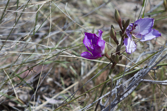
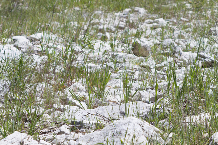
Next to road workers (truck and digger). River now completely dry. Out of sight of workers, behind a eucalyptus tree, I climb back on to river bed. Farm (vines / olive trees) on E side. Cacti on other side. Pebbles cover bed. Poppies.
13:44
Some sort of fence/hosepipe. Growth ahead is too thick to continue. Bit concerned about snakes. Track along other side but seems to be private property. Climb up back to main road beside chicken coops.
14:55
River has concrete walls either side. To W is football field – astroturf – path along E. Now going through a more built-up area. Piles of gravel/building sand next to path.
15:32
River bed thick with grasses and shrubs. Road and tree nursery to E. Some sort of scrapyard/dumping ground to W.
15:36
Next bridge: 6 tunnels. Roads getting busier. I seem to be in the midst of a very large garden centre.
15:57
River passes under highway flyover. Pigeons. Riverbed seemingly ploughed up and barren. Graffiti on concrete underpass.
16:29
In housing estate: quite well-to-do. Surroundings are distinctly suburban. Neat path leads behind houses then beaten track goes into river. Tennis court on river bed to one side.
16:44
Historical stone-built bridge (I assume this is the medieval bridge) crosses over. River banks are now concrete. River bed is tarmac (although not very neatly made). A few people milling around. I believe they are speaking Russian. Cars parked.
16:52
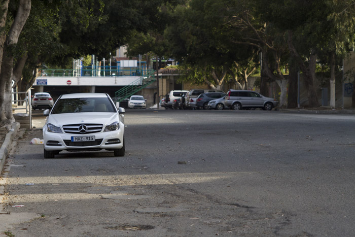
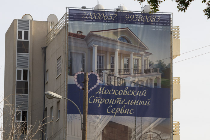
River bed is now a car park. Very little to suggest you are in a river. Tall apartment blocks on both sides. Public conveniences on W side of river. Young man loitering, disappears into toilets.
17:17
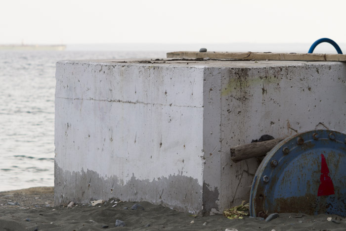
River meets grey sand and shingle of beach. Very narrow here with small concrete pier (of some description). Rocky breakwaters. Buoys bobbing in sea. Ships leaving port in distance. Losing sunlight. City of Limassol visible to W. Tourists. Sparrows.
28 March 2014
-
11:03 /
34º 44' 37.93" N, 33º 4' 59.41" E -
11:25 /
34º 44' 33.62" N, 33º 5' 3.26" E -
12:04 /
34º 44' 22.64" N, 33º 5' 8.97" E -
12:43 /
34º 44' 6.84" N, 33º 5' 8.28" E -
13:56 /
34º 43' 33.97" N, 33º 5' 14.68" E -
15:09 /
34º 43' 1.81" N, 33º 5' 21.21" E -
16:48 /
34º 41' 54.96" N, 33º 5' 18.48" E -
16:51 /
34º 41' 53.35" N, 33º 5' 18.99" E -
17:25 /
34º 41' 34.92" N, 33º 5' 15.35" E